GeoScope for mining and engineering
GeoScope for mining and engineering

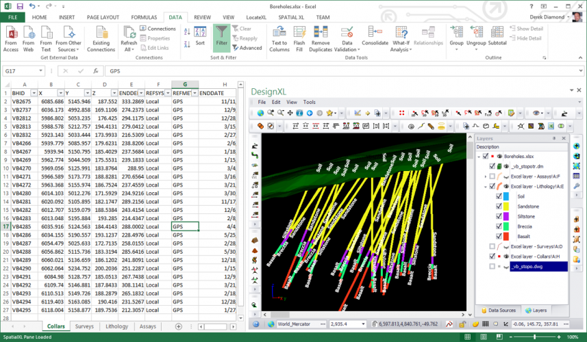
Geoscope contains an advanced 3D processing engine that empowers it to handle and visualize all your mining spatial data.
Geoscope can read data in the following formats:
- Shape files.
- Microstation DGN files
- Autocad DWG and DXF files
- Gemcom Surpac string, point and DTM files
- Datamine .dm binary files, both double and single precision, including block models
- LandXML files
- ModelMaker point and DTM files
- Whittle Block models
- VectorDraw .vdcl files
- Surfer grid files
- CSV and xyz files
- Image files (bmp, jpg, tiff, png, img)
As you can see this covers most formats encountered in the mining and engineering area.
Additionally Geoscope can read from the following databases, in their native spatial formats:
- Sql Server 2008 through 2016
- Oracle all versions
- Postgres
- Any ODBC database connection